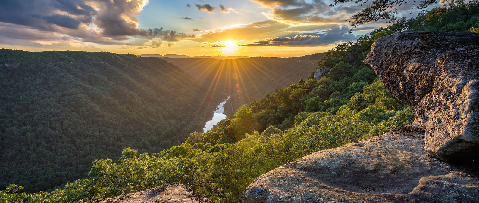

The Gauley River is a legendary destination for whitewater enthusiasts, offering two distinct sections—Upper Gauley and Lower Gauley—that vary in length, difficulty, and iconic features. With 24 miles of exhilarating rapids, each section promises a unique adventure, whether you’re an experienced paddler or a thrill-seeking beginner.
Conquer the Upper Gauley
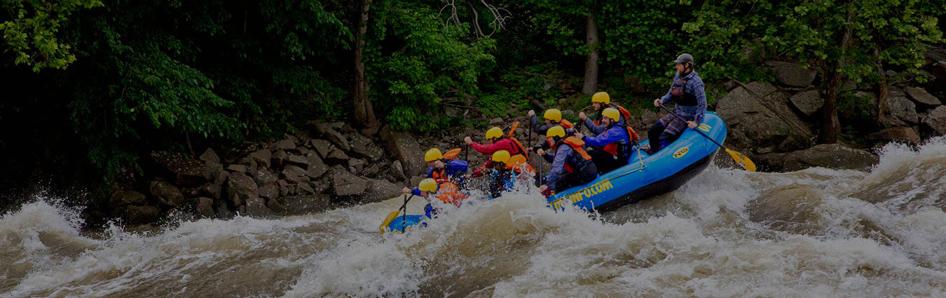
Starting at the Summersville Dam, the Upper Gauley is a heart-pounding journey for experienced rafters. This 12-mile stretch (if you take out at Mason’s Branch) is renowned for its challenging rapids, with some extending the trip to Wood’s Ferry for even more adventure.
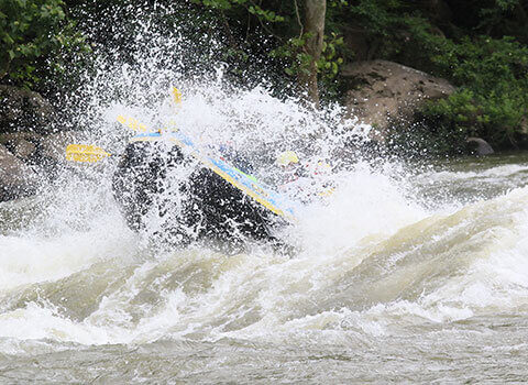
The Upper Gauley is famous for its Class V rapids, including iconic names like Pillow Rock, Lost Paddle, and Sweet’s Falls. River Expeditions guests have exclusive access to the sunny side of Sweets Falls, where a delicious hot lunch is served.These rapids are as technical as they are thrilling, requiring skill and an expert guide to navigate. It’s the ultimate test of courage and teamwork, rewarding paddlers with unmatched adrenaline and breathtaking scenery.
Ready to tackle the Upper Gauley? Book your Upper Gauley adventure today!
Discover the Lower Gauley
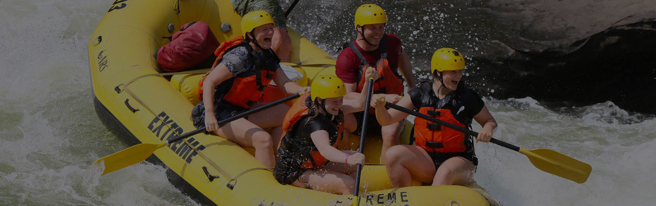
For those seeking a slightly less intense (but equally rewarding) ride, the Lower Gauley offers a perfect balance of adventure and accessibility. Starting at Wood’s Ferry or Bucklick Branch and ending in Swiss, this 12-mile stretch boasts Class II to Class IV rapids.
One of the highlights is Koontz Flume, a rapid that kicks off the journey with a bang. Further downstream, Diagonal Ledges offers a chance to surf the waves, while the Class IV rapid Pure Screaming Hell caps off the trip in thrilling fashion. The Lower Gauley is ideal for families, beginner to intermediate rafters, and anyone looking to enjoy the beauty of the river without the extreme intensity of the Upper Gauley.
Curious about the Lower Gauley? Reserve your Lower Gauley experience now!
Plan Your Gauley River Adventure
If you’re ready to experience the best whitewater rafting in West Virginia, the Gauley River awaits! For more detailed information on river conditions, permits, and other essentials, check out the National Park Service’s resources on the Gauley River.
Start your adventure now! Contact us to learn more or secure your spot.